
The Corridor Concept
A connected system of navigable waterways, obstacle bypasses, depots, community nodes and seasonal operating plans.
How the network could work
Hovercraft would use suitable rivers, lakes, coastal waters, snow, ice and prepared land transitions. Where rapids, waterfalls, narrow channels or unsafe terrain interrupt a route, short portage glideways could provide controlled bypasses.
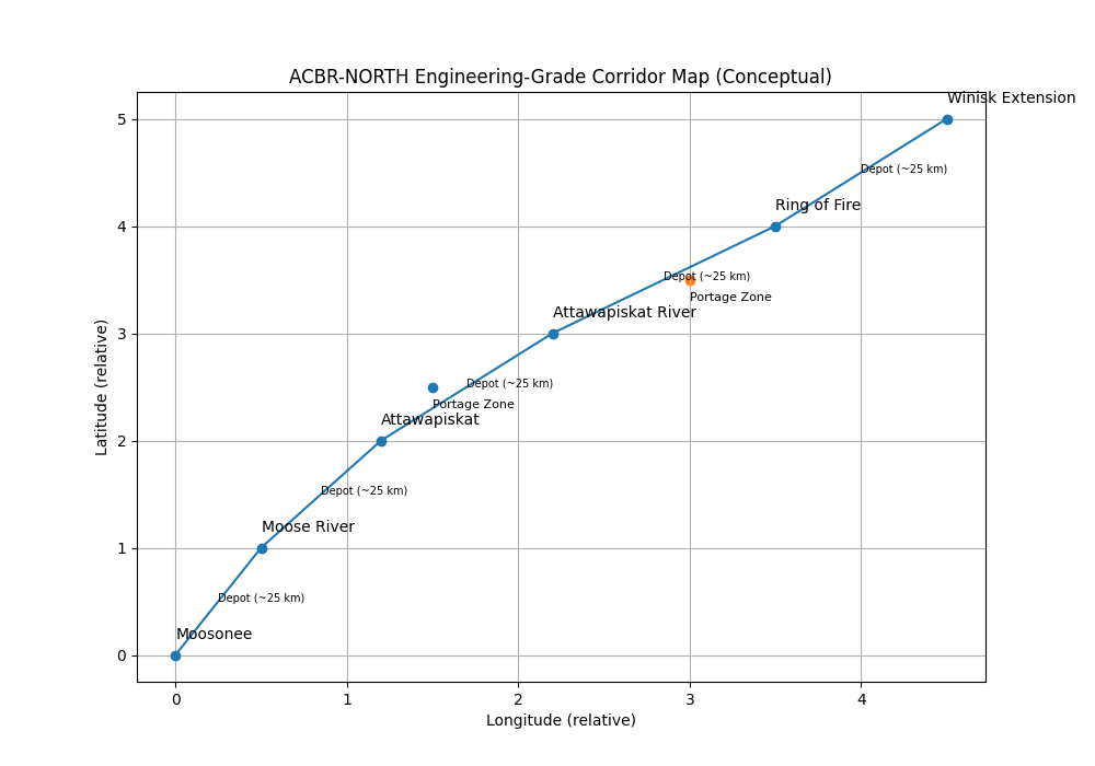
Potential corridor elements
Water and ice reaches
Use broad navigable rivers, lakes and coastal areas where safe operating envelopes can be established.
Portage glideways
Short, engineered bypasses around waterfalls, severe rapids, unsafe narrows and difficult transitions.
Depots and shelters
Refuelling or charging, maintenance, storage, communications, weather monitoring and emergency refuge.
Digital operations
Tracking, dispatch, weather, ice information, route status, maintenance records and emergency communications.
Seasonal plans
Separate procedures for open water, freeze-up, stable winter ice, break-up, high water and wildfire conditions.
Intermodal links
Connections with airports, railheads, roads, marine terminals, mines and community freight facilities.