
A new way to connect Canada’s North.
A First Nations-led mobility, logistics and resilience platform designed for water, ice, snow, muskeg and seasonal transition zones.
Year-round access remains difficult across vast northern landscapes.
Many remote communities and industrial projects depend on air service, winter roads and seasonal marine or river routes. ACBR North explores whether an integrated hovercraft corridor could complement existing transportation systems while improving emergency response, freight flexibility and community resilience.
Community leadership first: no corridor should be selected or developed without early and continuing First Nations direction, consent processes and local knowledge.
Operating surfaces
Water, ice, snow and low-bearing terrain.
Integrated network
Craft, depots, portages and digital logistics.
Day objective
More dependable access through seasonal transitions.
More than a vehicle.
Northern hovercraft
Commercially proven air-cushion technology adapted, tested and certified for Canadian northern conditions.
Vehicle concept →ETACITE glideways
Low-friction, light-coloured, UV-stabilized portage surfaces for obstacle bypasses and difficult transitions.
Material concept →Community depots
Locally operated hubs for freight, fuel or energy, maintenance, communications, safety and training.
Community model →Mobility that supports people, prosperity and preparedness.
The goal is not to impose a route. It is to develop a practical transportation option that northern communities can evaluate, shape, own and operate.
Essential freight
Food, building materials, equipment and community supplies.
Emergency response
Wildfire logistics, search and rescue, evacuation support and disaster response.
Economic participation
Community ownership, skilled work, maintenance and regional manufacturing.
Critical infrastructure
Support for communications, energy, housing, health and resource development.
A network of waterways, portages, depots and community nodes.
The present mapping is conceptual. It illustrates how regional links might connect James Bay gateways, remote communities and the Ring of Fire area. Engineering-grade routing must follow community consultation, environmental screening, hydrographic analysis and field verification.
View corridor concept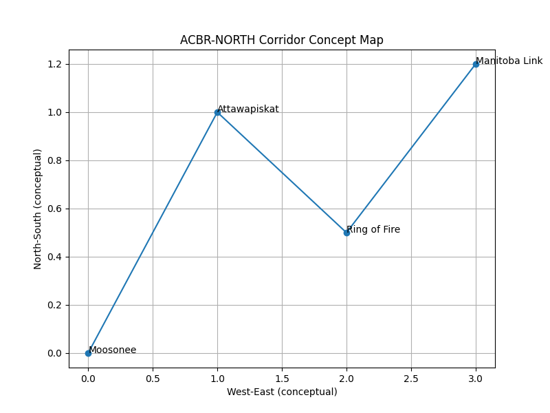
Help shape the next phase.
ACBR North is seeking conversations with First Nations leadership, northern operators, engineers, researchers, governments, manufacturers, emergency services and responsible investors.